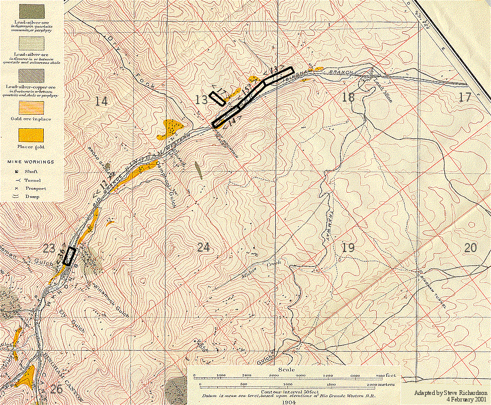
Map Showing Hickman and Other Early Mining Claims, Bingham or West Mountain Lower Mining District, Utah
Adapted from U.S. Geological Survey Professional Paper 38, Bingham Mining District, 1904, Plate XVI.
For the text that refers to this map, click here. To see the documents that refer to this map, click here. For a similar map of Hickman lode mines in the upper portion of Bingham Canyon, click here. To see a map of Hickman and Butcher ranch properties along Bingham Creek to the east of this map, click here. For a more modern map of this area, click here, and enter "Bingham Canyon". For an aerial photograph of the area, click here and enter "Bingham Canyon". To return to the index page, click here.
